AT 2019, Days
13-14: Siler Bald to The NOC
Trail magic, two fire towers, and an unforgettable ridge walk into the NOC.
Appalachian Trail 2019, Days 13-14: Siler Bald Shelter to The NOC
The final two days of this section hike, and the ones I'd been aiming for the whole
trip - climbing out of Siler Bald Shelter into clear skies, a stretch of unexpected
trail magic, two more fire towers, and a ridge walk so good it felt like the trail
was sending me off properly before rolling into the Nantahala Outdoor Center. Watch
the video below, then read on for the full story.
A Crowded Shelter and a Detour Worth Taking
Coming out of Siler Bald Shelter, there were more people around than you'd expect for October - ten or twelve at the shelter overnight, a surprisingly social start for a trail that's usually quiet by this time of year. A short side trail, just 0.2 miles off the AT, led up to the actual summit of Siler Bald - not marked with much beyond a simple peak marker, but worth every step for the open, grassy views up top. Cold mornings had become the pattern of the trip, each one a touch chillier than the last, but this one burned off into clear skies fast.The Walk to the NOC
This whole section had a nickname by this point: "the walk to the NOC." The Nantahala Outdoor Center - white water rafting, zip lines, a ropes course, an outfitter store, bunkhouses, cabins, and a restaurant - was the finish line, and the plan was simple: walk there and start eating like a normal person again. There's nothing quite like grinding through hiker food for days and then rolling into a real, hot, prepared meal at the end of it.Trail Magic from Kathy
October is a quieter month on the trail than May, so trail magic wasn't really expected this time around - which made it even better when it showed up anyway. Kathy, out with apples, water, and chocolate, turned out to be from Tampa - another Florida hiker running into a Florida local out in the North Carolina mountains. A small, easy moment, but exactly the kind of thing that makes a good day even better. Combined with low-60s temperatures, plenty of sun, and perfect humidity, day five of the hike was about as good as trail conditions get - especially after a couple of rainy days earlier in the trip made it impossible not to appreciate the sunshine.Wayah Bald's Stone Fire Tower
Wayah Bald delivered a genuine surprise: a stone fire tower right at the top, with picnic areas, parking, and restrooms nearby - clearly a spot plenty of day visitors reach by car, not just thru-hikers. The Appalachian Trail runs straight past the tower before continuing on, so after taking in the views, it was back to the pack and back on the trail toward Cold Spring Shelter for the night - an older shelter, built in the 1930s, small and without much flat ground nearby for tents. That meant hiking about 100 yards further up the trail to find a spot to pitch camp among a noticeably larger crowd - twenty or more hikers moving through in what felt like two or three separate groups.A Reflective Final Day
Day six started early, breaking camp around 7am with breakfast saved for the trail rather than eaten cold at the tent site. With Wesser Bald and its views still ahead, there was time on the climb for some reflection on the hike as a whole - six days of food carried with no resupply and no chance to clean up, a deliberately harder challenge than the first section back in May, made harder still by a water filter that failed on day one and cost an extra detour to fix. By this point the toughest parts - the rain, the cold mornings - were behind, and all that was left was about ten more miles and the promise of burgers at the end of it.Two More Fire Towers and a Ridge to Remember
The terrain past Winding Stair Gap felt like real high country compared to everything earlier in the trip. After crossing Tellico Gap - power lines visible below - the trail climbed to Wesser Bald and its fire tower, the third of the entire section hike, with sweeping views north toward where Tellico Gap and, in the distance, Fontana Dam and the Great Smoky Mountains would be. From there, a long rocky ridge walk unfolded - close to a mile of exposed rock, cliffs dropping away on one side, easily one of the best stretches of trail from either section of this hike. It felt less like the end of a long hike and more like the trail saying goodbye properly, with one last great view before the descent.Rolling Into the NOC
From the top of that ridge, the trail dropped steadily - down from around 4,200 feet to roughly 1,700 feet at the Nantahala River - a steep, sustained descent that made it obvious the end was close. Traffic noise crept in first, then the outdoor center itself came into view, full of people gearing up for white water rafting. Sixty-eight miles over six days, done. A tough, rewarding section, capped off exactly the way a good hike should end - with a ridge walk worth remembering and a hot meal waiting at the bottom.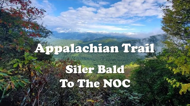

AT 2019, Days
9-12: Dick's Creek Gap to Siler Bald
A water filter meltdown, two days of rain, and the climb up Albert Mountain.
A water filter meltdown, two days of rain, and the climb up Albert Mountain.
AT 2019, Day
8: Tray Mountain to Dick's Creek Gap
The final day - over Kelly Knob to Dick's Creek Gap and 80 miles completed.
The final day - over Kelly Knob to Dick's Creek Gap and 80 miles completed.

Follow Me
@cory_outdoors