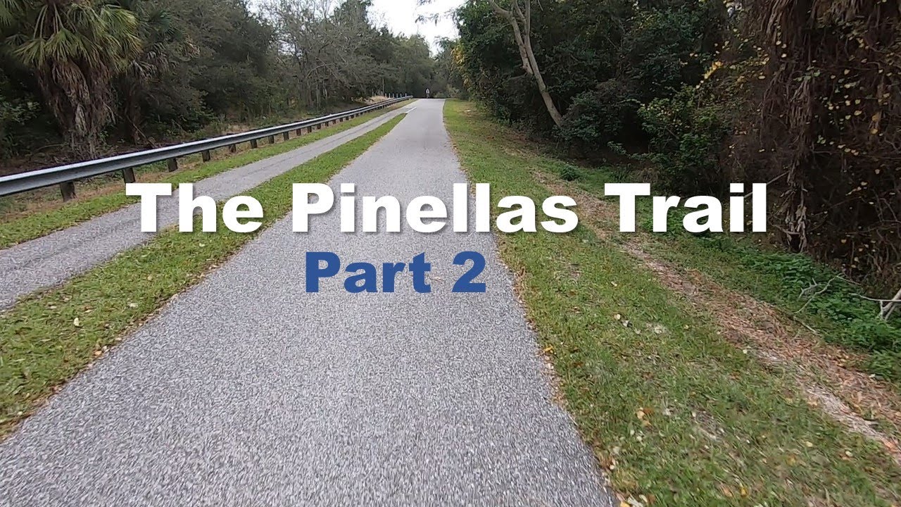
Tour of The Pinellas
Trail - Part 2
Touring the middle section of the Pinellas Trail through Dunedin, Clearwater, and Largo.
Tour of The Pinellas Trail - Part 1
I grabbed my bike and my camera and set out to put the Pinellas Trail on film - all 45
miles (72 km) of it, from Tarpon Springs down to St. Petersburg. It's a rail trail,
paved and converted from an old rail corridor, and even though it cuts through a
densely populated county, it stays lined with green space the whole way. This first
video covers the northern section, plus the spur trail up top. Here's the ride, plus
everything I saw along the way.
Starting at John Chestnut Park
I started my ride at John Chestnut Park, one of two northern termini of the trail (a second one was added around 2017). It's a genuinely convenient place to start or stop - there are restrooms and water right there - so I rolled out heading south, aiming for Tarpon Springs and Dunedin, figuring I'd see how far I felt like going before turning back.
The section right out of the park is one of the busier stretches, crossing a lot of
business and neighborhood entrances. But one thing I love about the Pinellas Trail in
general is that you're never far from water or food - it makes for a great touring
trail, not just a training one.
Onto Keystone Road
I made a turn onto Keystone Road, and this is really where the trail starts to shine. You're along a busy street for a bit, but it soon quiets down. There's even a bridge ramp over some swampland that gives you a taste of Florida "elevation" - which is to say, not much, but it's there. Along the way I passed sandhill cranes hanging out trailside, tame as anything, clearly working the grass for bugs.
One nice touch heading north into Tarpon Springs: you don't have to track your own
mileage if you don't want to. The trail has mile markers the whole way - I started at
45 and watched them count down to 38 as I went. Small thing, but it adds to how
low-stress this trail feels. Once you're through the Tarpon Springs section, the
corridor turns into this nice green tunnel that genuinely lowers your blood pressure as
you roll through it.
A Stop at Wall Springs Park
About 13 miles in, I pulled off at Wall Springs Park - a great spot to refill your water bottle and take in some waterfront views. Head back into the park a little ways and you'll find docks and some genuinely awesome scenery.A Detour Through Crystal Beach
Further south, in the Crystal Beach area, there's a worthwhile detour: take Crystal Beach Avenue west up the hill, and the water is right there on the other side. It's a quiet little section with its own small waterfront park, Grand Oaks live oaks and all. Follow the curve about 100 yards up, go to the end of the street, and you'll find a secret little passageway back onto the Pinellas Trail near mile marker 32 - just watch for cyclists coming through as you rejoin.Heading Back via Brooker Creek Preserve
For the return trip, I took Keystone Road east back toward John Chestnut Park, which leads out toward the Pasco County line. Along that stretch I swung north into Brooker Creek Preserve - a genuinely peaceful area with birds, cows, lakes, and fields you can see forever across.
That's the northern section of the Pinellas Trail in a nutshell: mile markers to keep
you honest, water and food never far off, and a couple of worthwhile detours if you're
willing to wander a little. Part 2 picks up in the middle section, through Dunedin,
Clearwater, and Largo.
Tour of The Pinellas
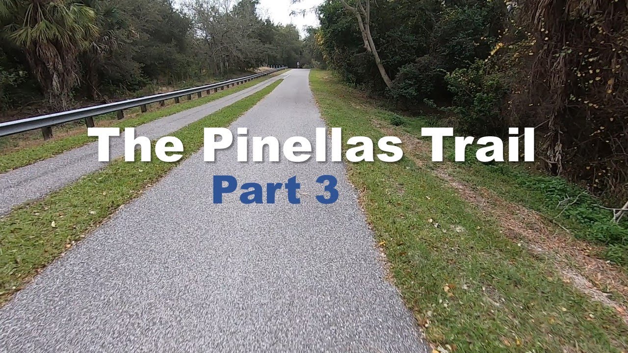
Trail - Part 3
Touring the southern section of the Pinellas Trail through Seminole and St. Petersburg.
Touring the southern section of the Pinellas Trail through Seminole and St. Petersburg.

Follow Me
@cory_outdoors